.jpg)
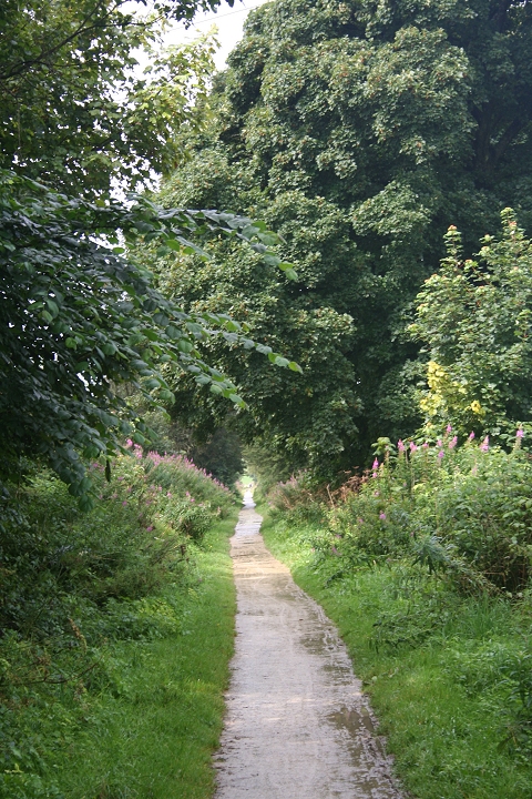
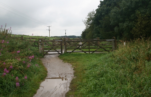
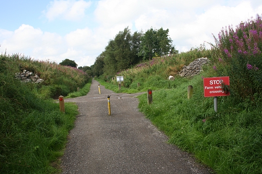
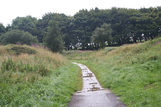
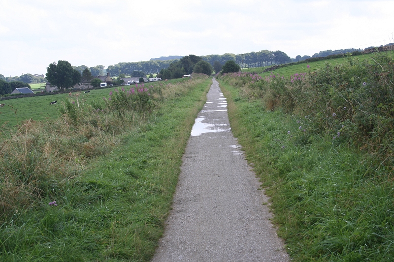
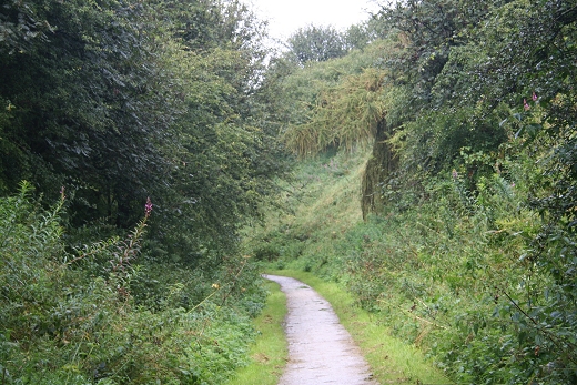
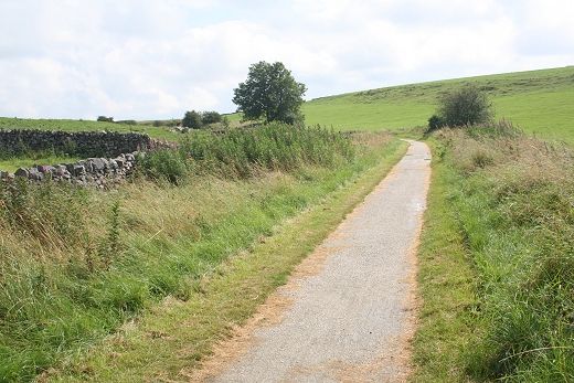
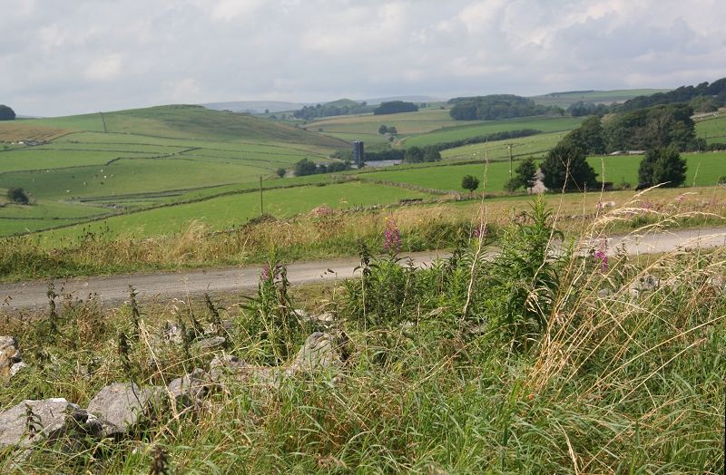
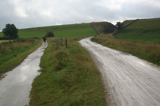
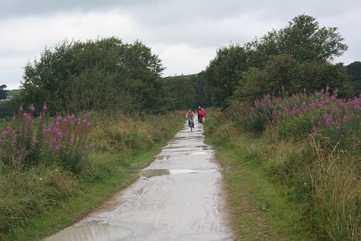
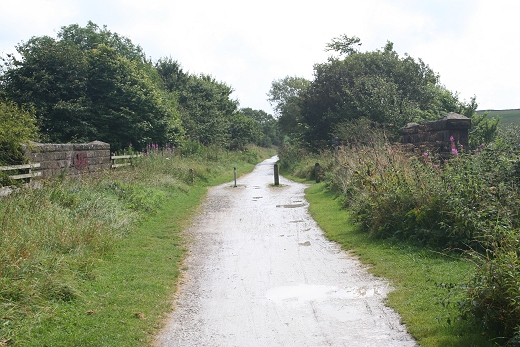
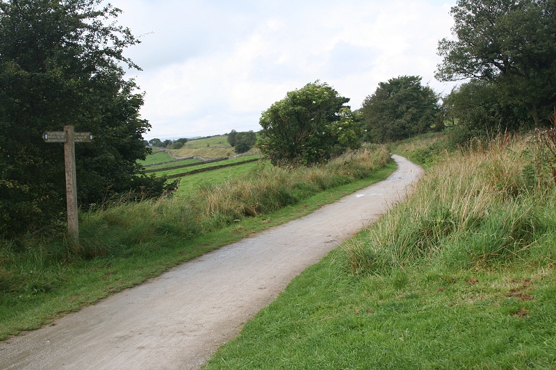
Leaving Friden (Northwards) towards Parsley Hay.
HIGH PEAK TRAIL WALKS
(From A walk on Sunday 27th August 2012)
Friden To Parsley Hay
The weather really broke down between Minninglow and Parsley Hay and was really too wet to take photos most of the time. However I took a few where it was of interest. Thanfully
it was much nicerduring the walk back, therefore the following photos are a mixture of both bleak conditions and in fine sunlight. The evening light during the latter part of the
walk was really very nice.
Leaving Friden (Northwards) towards Parsley Hay.
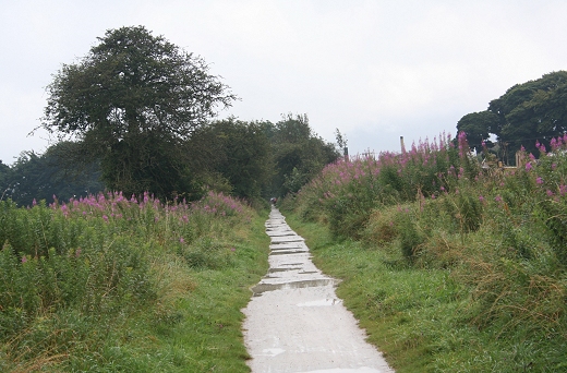
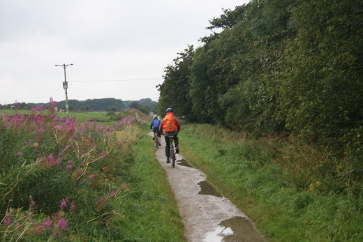
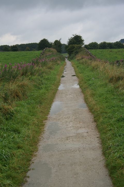
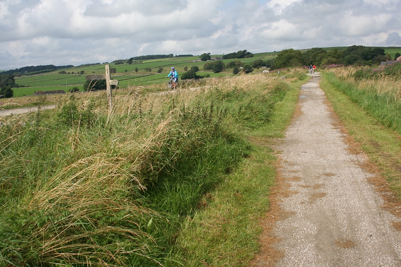
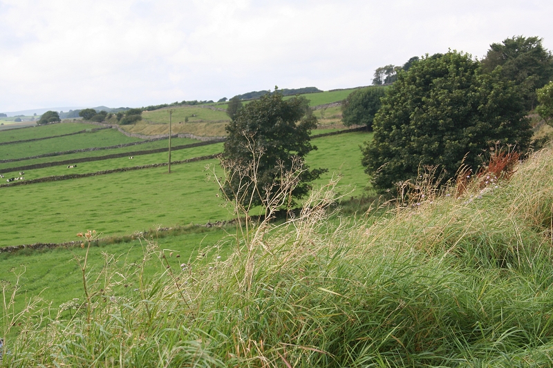
Another long straight. From Friden, northwards.
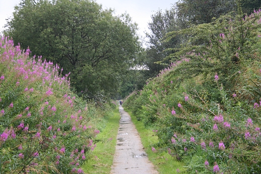
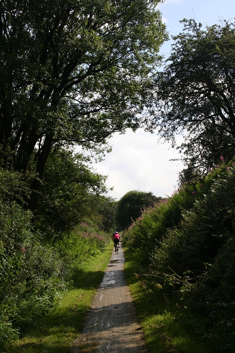
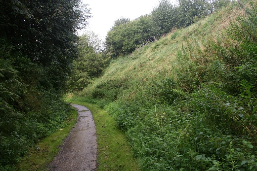
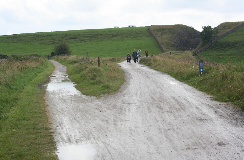
This was the wettest section over the route during my walk. However, the following photos are a mixture of these and the nicer conditions during my return journey.
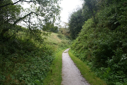
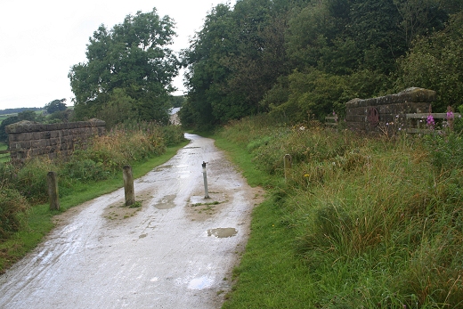
Left: A curve heading towards Parsley Hay. Right: A farm crossing to the north of Friden.
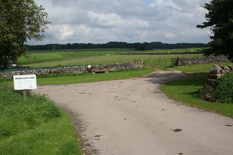
Crossing Gates by Brundcliffe Farm.
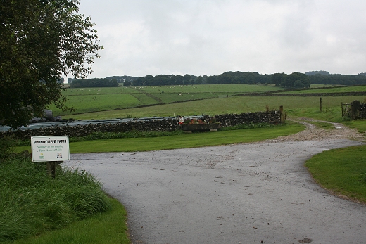
The next crossing northwards is by Brundcliffe Farm Level crossing to the north of Gotham Curve.
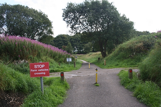

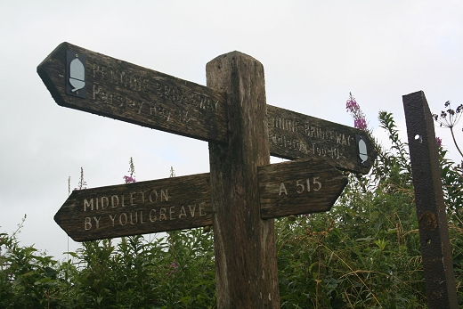
2284AlternativeWalkingRoute.jpgThe Pennine Bridleway crosses the C&HPR. Yet another 'Middleton' on the Hgh Peak Trail.
The first sign of brighter weather. Looking North. However, it was a good hour before it really settled. Right: Looking South.
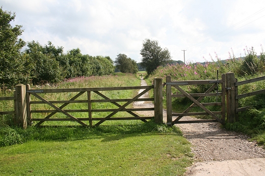
Left: From the crossing looking back towards Gotham Curve. Right: Ditto, looking north towards Parsley Hay.
Brundcliffe crossing gates.
Brundcliffe Farm Crossing.
Bundcliffe Farm crossing gates, looking south.
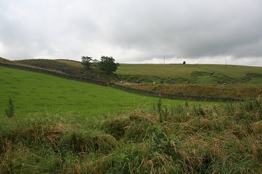
Looking back towards Gotham Curve. The chimnies at Friden can be seen in the background, far left.
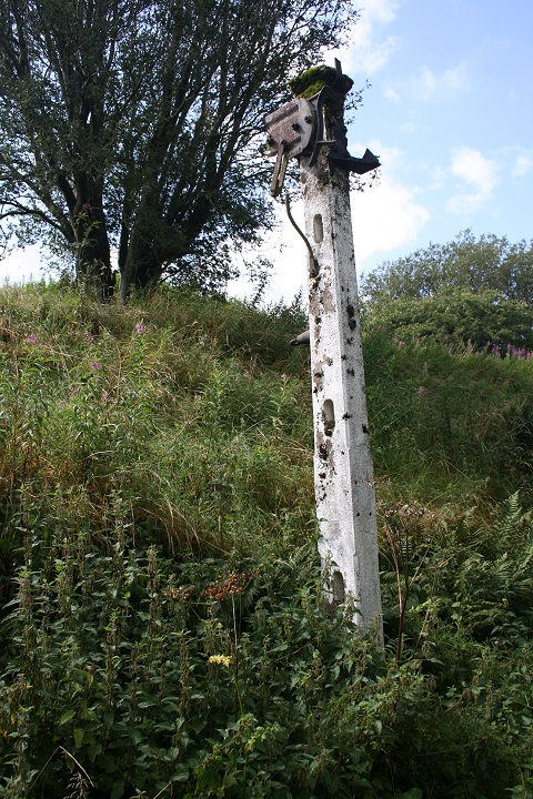
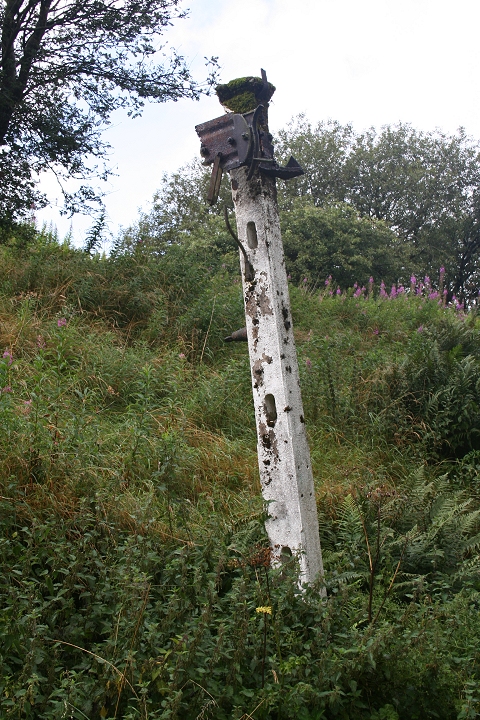
Looking south from the old signal post. The Ex down distant signal for Parsley Hay Junction.
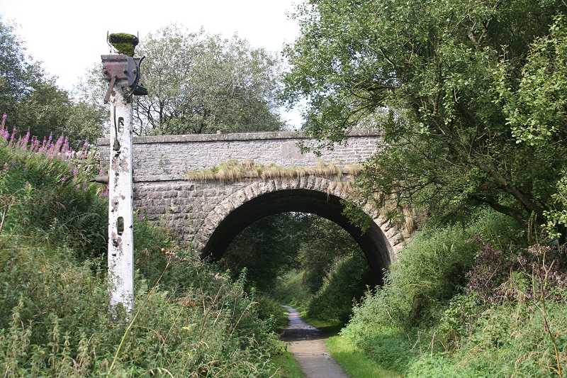
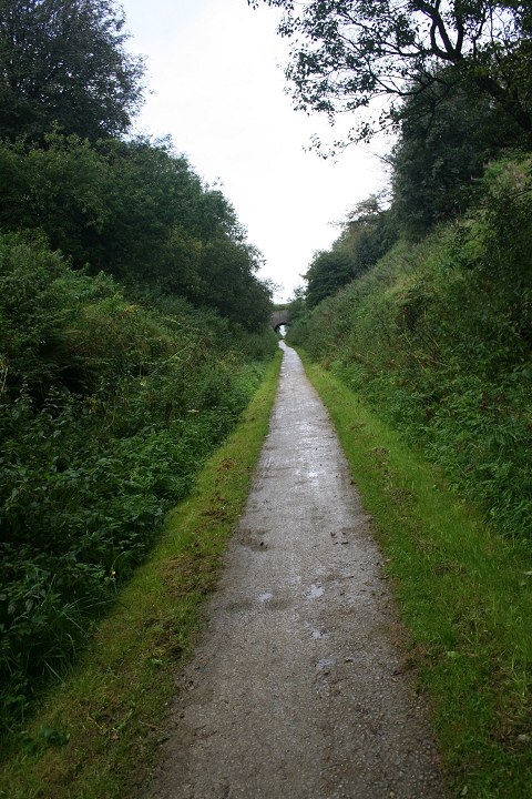
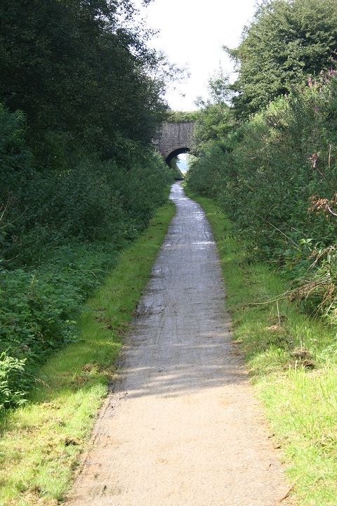
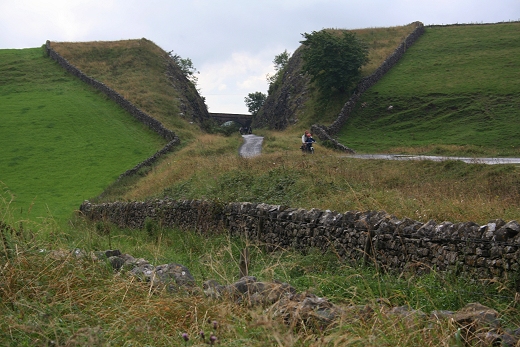
The signal post and over bridge, looking towards Parsley Hay.
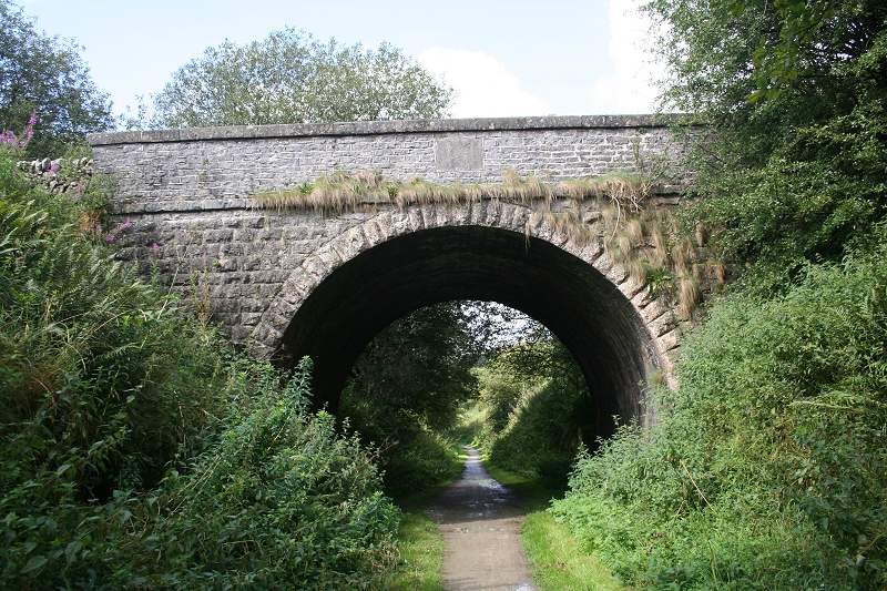
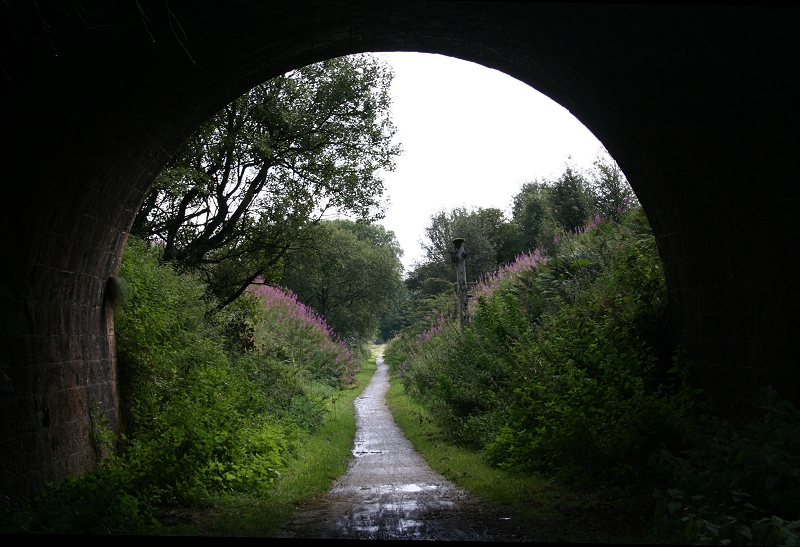
Over bridge by Distant Signal (Looking North). looking south from just inside the tunnel mouth, with the signal post o the right.
Left: Over bridge by down distant signal post. (Northwards) Right: Southwards.
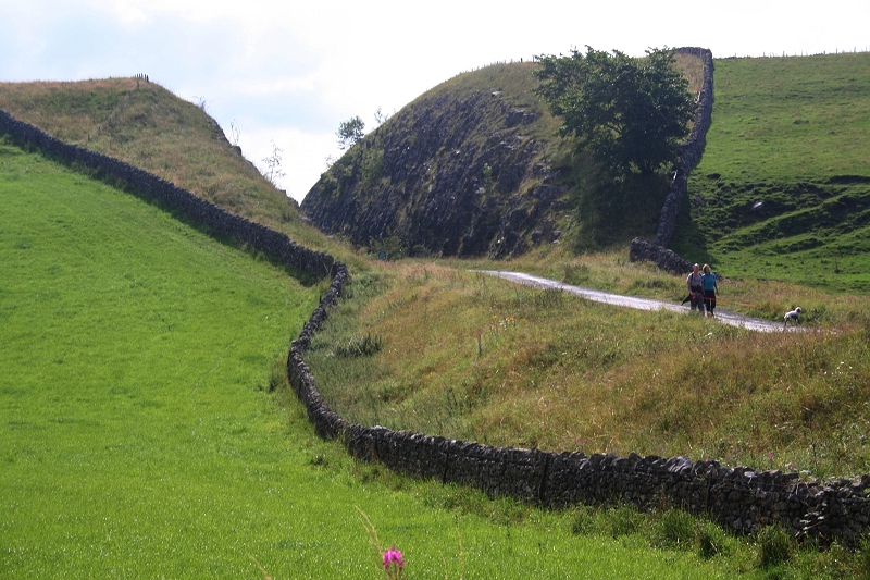
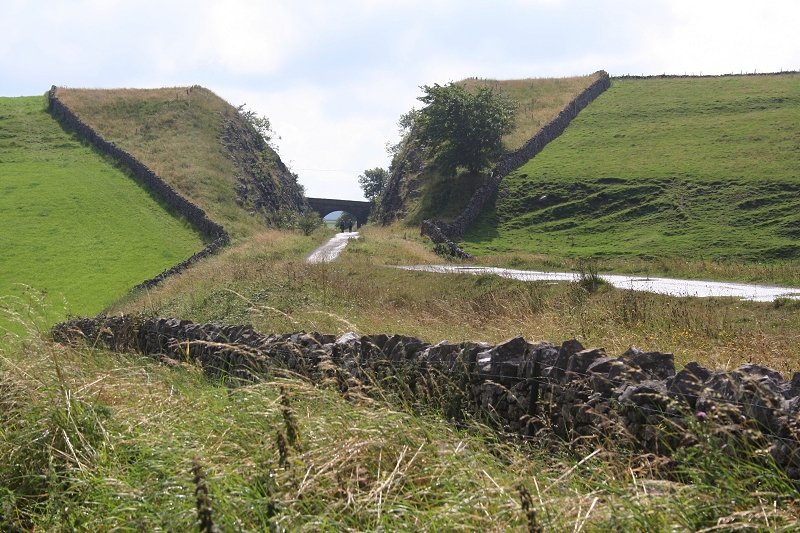
The sharp curve in the cutting towards Newhaven tunnel and Parsley Hay Junction.
In the cutting looking back towards the old signal post.
Within the cutting, approaching Newhaven Tunnel (Looking North).
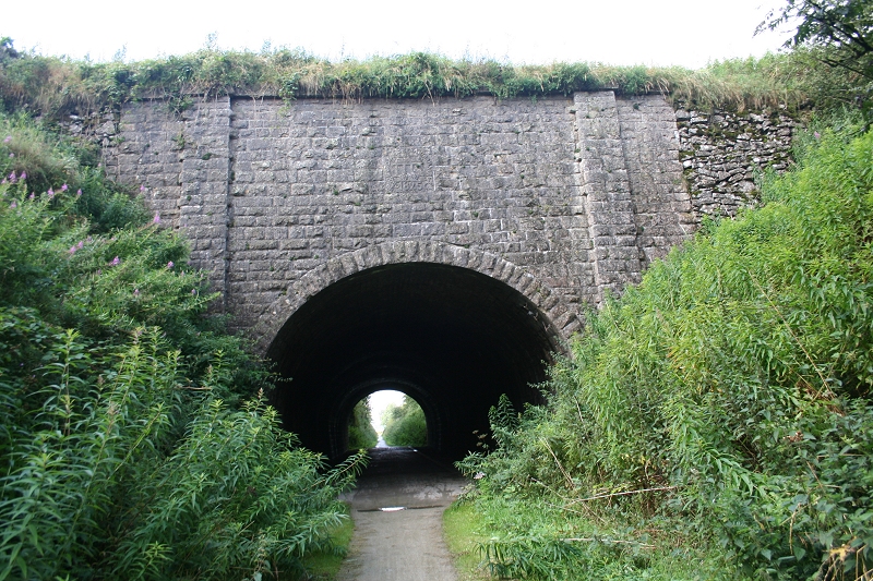
Newhaven Tunnel (South Portal, looking north).
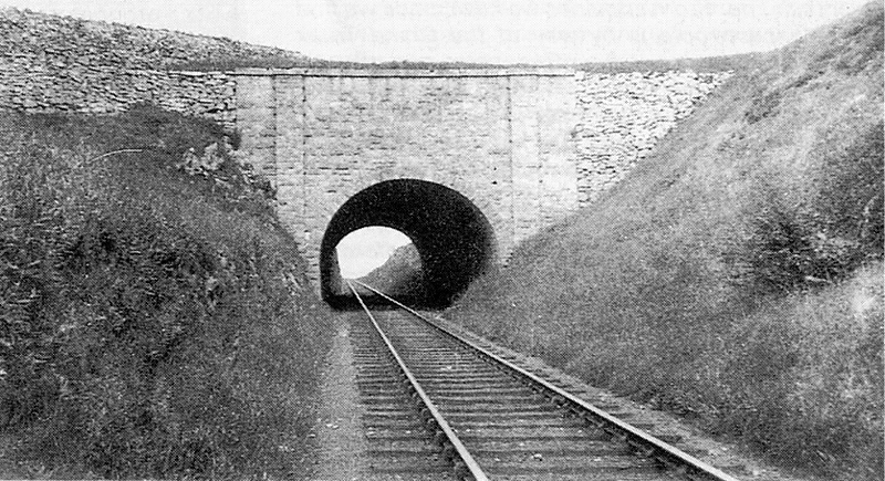
Near the same spot as above. Newhaven Tunnel (South Portal) 1941. (John Marshall).
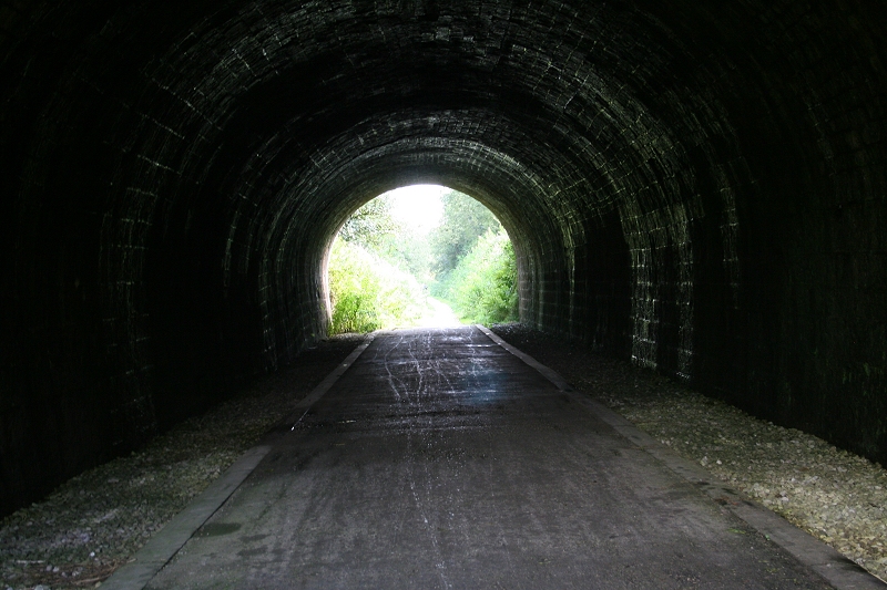
Inside Newhaven Tunnel (Looking South).
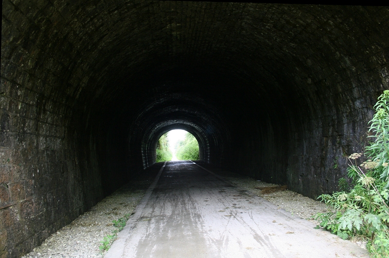
Looking through the tunnel, towards Parsley Hay Junction (Site).
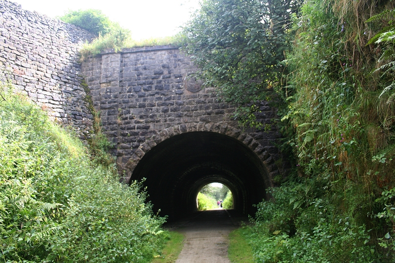
Newhaven Tunnel (North Portal) Looking South. The plaque is seen above the tunnel opening.
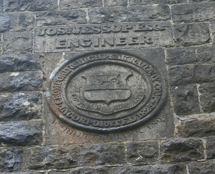
Dedication to Jose Jessop Engineer on the C&HPR (Newhaven Tunnel north portal). 1825.
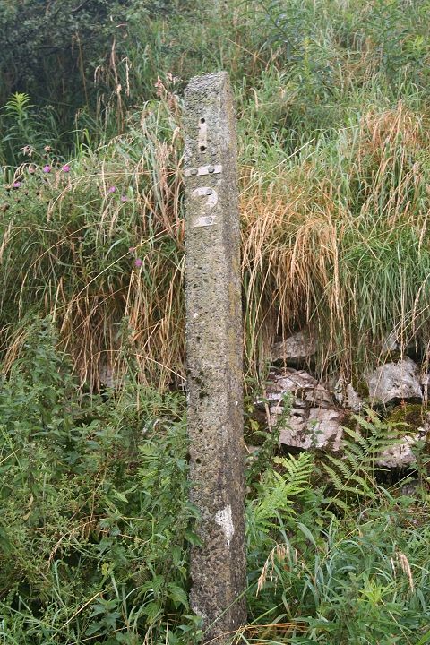
Half Mile post from Parsley Hay station site.

The High Peak Trail approaching the Junction Site (Looking South).
At the end of the cutting the Uttoxeter (Tissington Trail) line is seen to the left as they run up to meet at the junction. The Tissington line met the Derby-Stafford line at Uttoxeter.

The deep stone cutting taking the line towards Hartington and on to Ashbourne.
Tissington Trail coming in from Ashbourne.
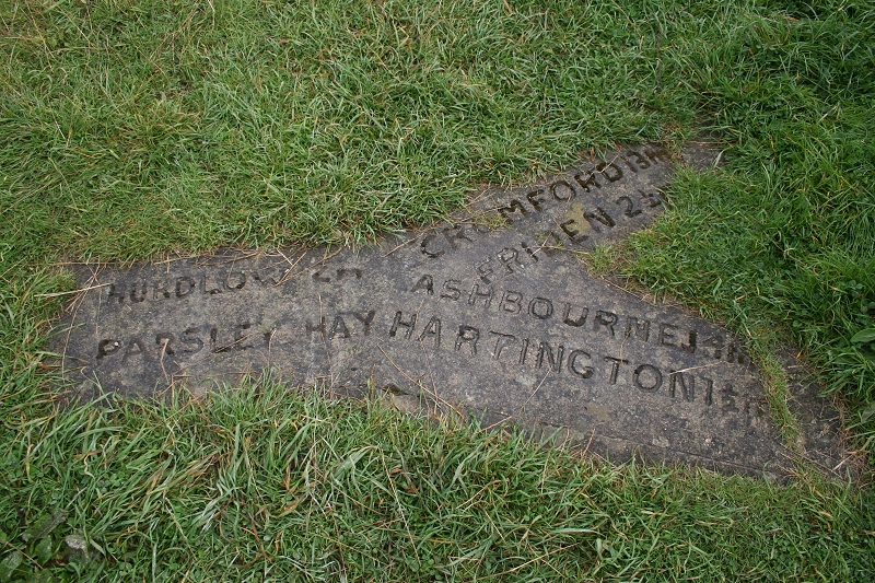
'Set in a 'Y' shaped Stone' The junction directions.
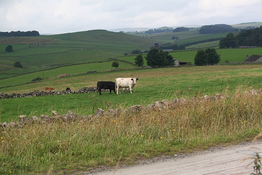
Left: The two track beds. Looking southwards. Right: The countryside, looking eastwards from the same spot.
Splitting of the ways at Parsley Hay Junction site.
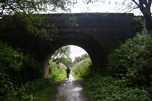
Cyclists on both track beds, having started from Parsley Hay station site just made ut up ahead.
Left: Beyond the junction the single track went northwards to Parsley Hay Stn. Site. Right: Traffic block at the over bridge south end of Parsley Hay Stn. Site. (Northwards).
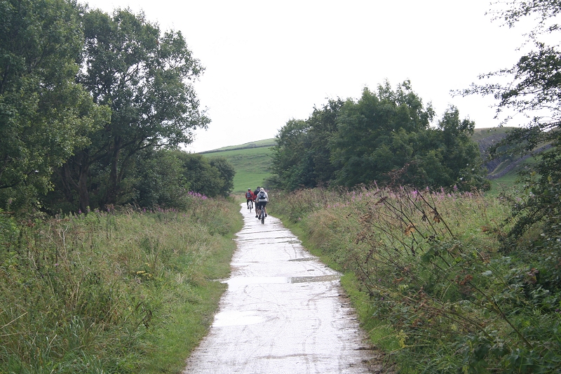
Cyclists heading south towards the junction site. Which direction will they be taking!
Left: Scenic view lookng westwards. Left: Reverse view of the over bridge and traffic block (Southwards)
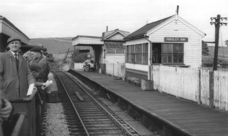
Near the same spot in the photo above right. 1960's. The Up platform on the right.
Approaching old station site.
The station platforms stood here, on each side. The Up platform on the right.
Left: Standing within the site of Parsley Hay Stn. platforms. Looking northwards.
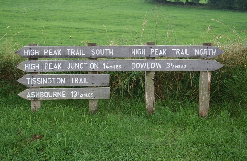
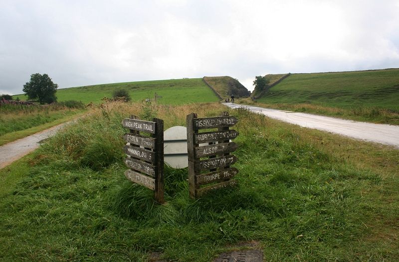
Way boards at Parsley Hay station site.
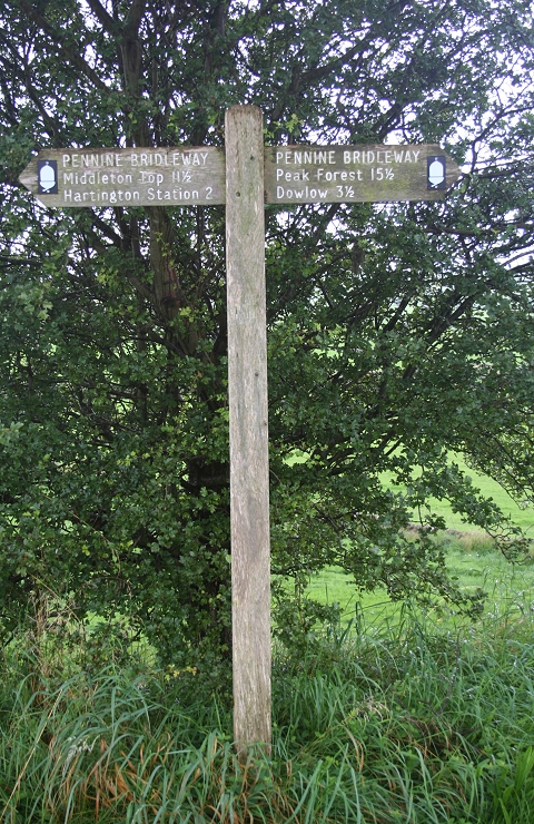
C&HPR and Pennine Bridle Way direction post.
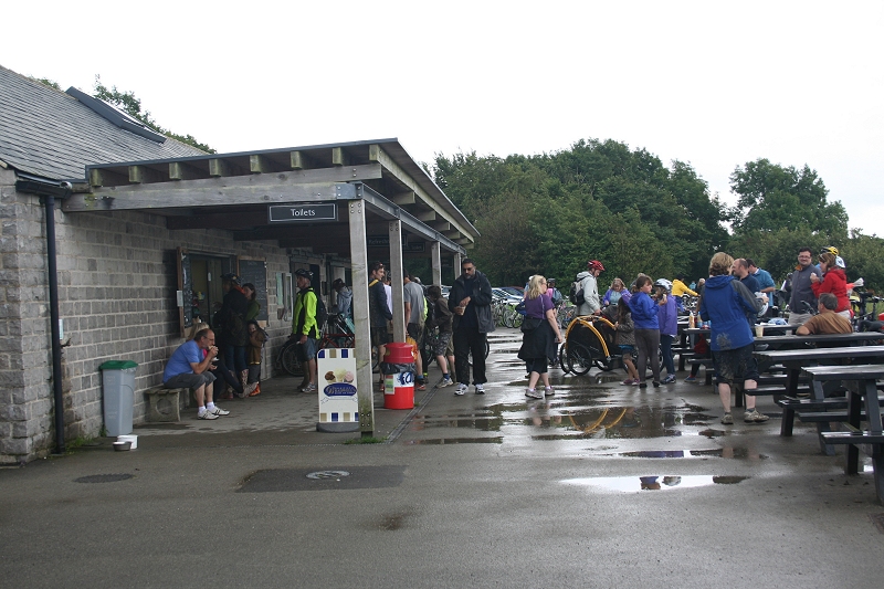
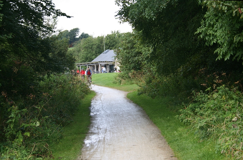
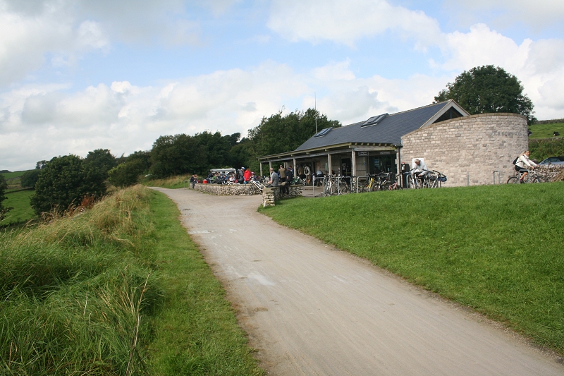
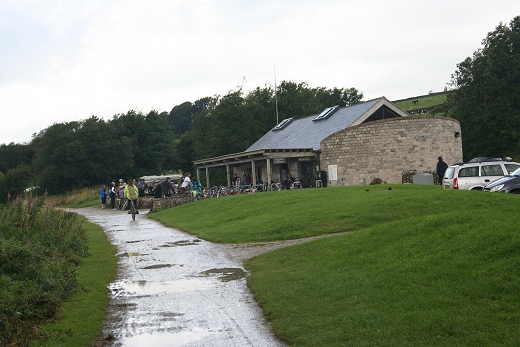
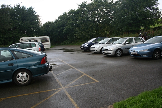
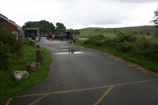
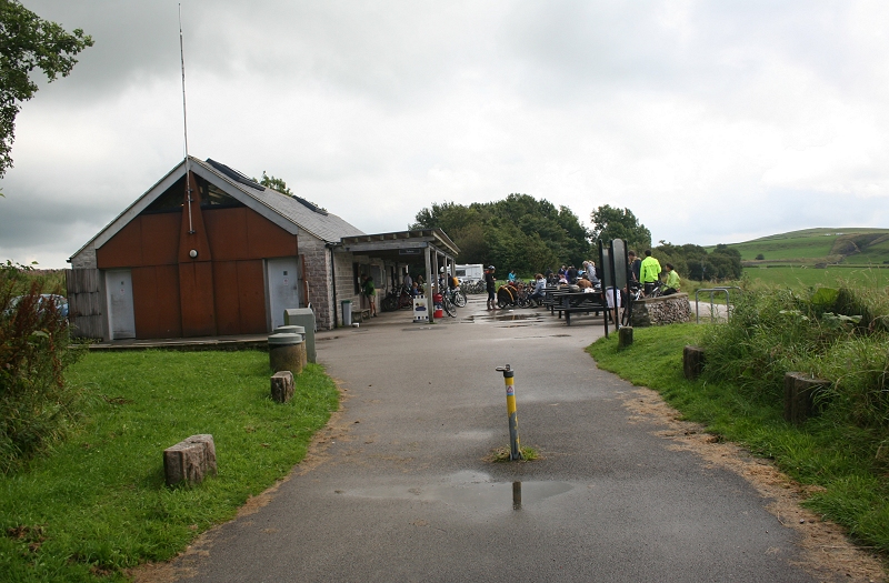
In very wet conditions. Parsley Hay Tourist Center is quite busy. I arrived here at 13.30.
Parsley Hay Goods Yard site. The wagon weighing machine was at the far end, right hand corner.
The Goods Yard entrance/exit, too/from the main line, which was on the right.
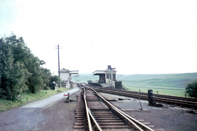
From almost the same spot in 1963. Looking southwards. (John Thorn)
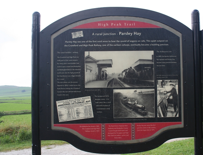
The official trail notice board at Parsley Hay. The steam tran (Bottom photo) is in the cutting on the Tissington branch.
A passenger train from Ashbourne stands in the station for Buxton. The Junction signals for Ashbourne and High Peak are seen on the left. The line
joined at Uttoxeter but had already been cut back to Ashbourne. Parsley Hay was quite an expansive station.
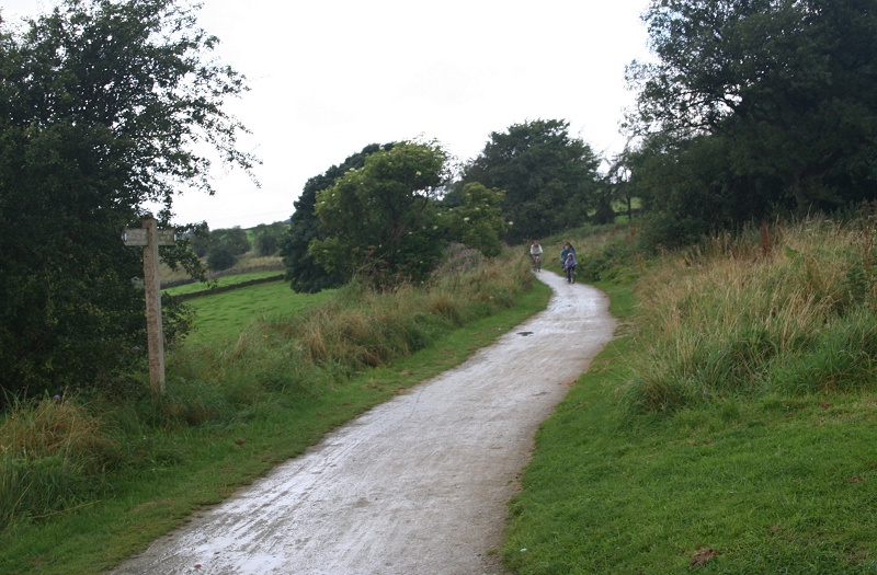
North end of Parsley Hay station site. Cyclists coming in from the end of the Trail at Hurdlow.
The embankment can be seen winding it's way from Parsley Hay, northwards towards the end of the trail at Hurdlow (3 miles). The High Peak Railway
continued to Buxton and Whaley Bridge. The Hurdlow to Buxton section. Just up ahead is where the older trackbed was abandoned in the late 1800's
and the newer trackbed taking an easier gradient and curve, cutting through the middle of the old track bed at one point. The old line is still
walkable too.
==========================================================
This was the end of the trail for me. I was tempted to continue to the end of the trail but it would have added another six miles to my alreeady 30 mile round walk too and from Wirksworth and would have probably
got a bitweary as well as getting back quite late and after dark. As it turned out I managed the return trip quite easily and comfortably and thoroughly enjoyed it. The very wet down trip was disappointing but
didn't dampen my sprits any and once the sky cleared it was a really beautiful and warm walk back, with the sun just going down as I got back to Wirksworth, so it worked out well and I covered everything I had
planned to see and do.
I plan to reach the end of the trail at Hurdlow another time but whether I will ever manage to cover the whole route up to Whaley Bridge will prove difficult as the line is still in use from Hurdlow to Buxton with stone
trains and there are a couple of difficult areas where the trackbed leaves the Buxton line and goes up past Harpur Hill and again south of Whaley Bridge. However, Whaley Bridge could be covered on a day trip by
train andpossibly some of the track bed around Buxton with a day trip there. I will be looking into the possibility of doing those next year.
(New June/July 2016) PARSLEY HAY TO DOWLOW (Newer Track Bed)
===================================
My Thanks To.....
John Neave for his kind permission to use a number of his 1960's photographs when the railway was still in operation. Check out John's ''Going Loco'', which includes a C&HPR history. At....
http://goingloco.neave.com/
Mark Norton for the use of 1940's photos by his late father Dennis J. D. Norton. http://www.photobydjnorton.com/CHPR_Menu.html#Links
Reading: The Cromford & High Peak Railiway by John Marshall. Published by Martin Bairstow. Printed by The Amedeus Press 2011.
The Cromford & High Peak Railway by Alan Rimmer.
Other Railway Walks....
The Dundee & Newtyle Railway The first passenger railway in Scotland opened in 1831, which had three inclines operated by stationary steam engines. The main source of income was from
the numerous stone quarries in the area and local farming produce. Passenger numbers were always sparse.
The inclines were abandoned in the mid 1800's by new deviations that allowed through locomotive running.
The line also included the Dundee Law (Hill) tunnel built at 300ft above the City. Both the north & south portals of the tunnel are buried below modern housing schemes.
Passenger services ended in 1955 and the line closed completely in the mid 60's.
Unlike the C&HPR none of the Engine houses were preserved. The inclines can still be followed but sections have been back-filled or ploughed over
This web site tries to cover as much as possible.
Boddam To Ellon Branchline Built by the GNSR in the latter part of the 20th century. The passenger service only lasted until 1934 but goods remained up to total closure in 1949.
The GNSR built a large Golf course and Hotel at Cruden Bay, with an electric tramway between the station and hotel. All that remains today is the Golf course.
Other web pages....
Kittybrewster Memories. Kittybrewster Loco Depot, Aberdeen.
Tivoli Memories The Tivoli Theatre, Aberdeen.
Hosted by www.theatreorgans.com